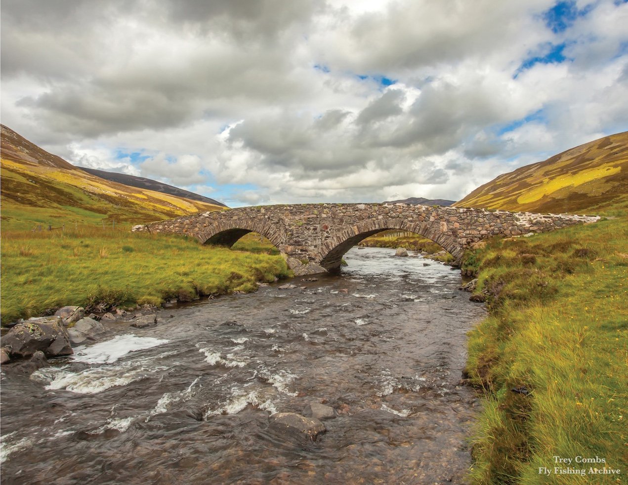
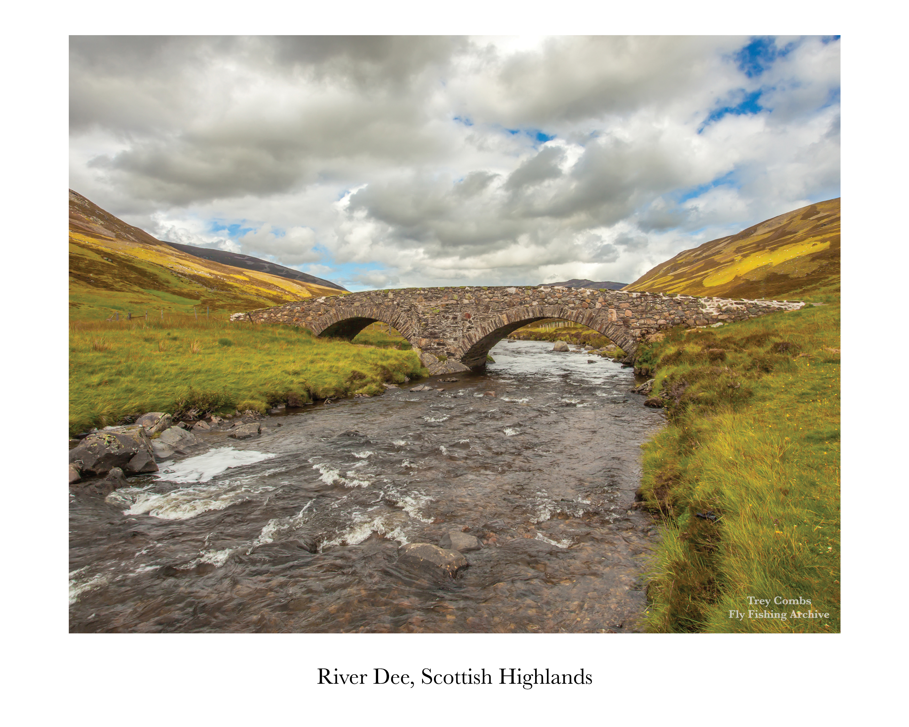
River Plate #2 - River Dee
The download link to the high resolution version of this image is located at the bottom of this page.
River Dee, Scottish Highlands
Excerpt from Flies for Atlantic Salmon & Steelhead, 2023
Arthur H. E. Wood, an engineer, businessman, and a person of considerable means, advanced salmon fly fishing by practicing a more exact and refined system of line management. His method was later outlined in Greased Line Fishing for Salmon (1935) by Donald G. Ferris Rudd—writing under the pen name Jock Scott—from Wood’s compiled fishing papers after Wood’s death in 1934.
Each passing generation of fly fishers continues to explore the wisdom of Wood’s system, working to incorporate greased-line fishing into modern practice.
Scotland’s River Dee became Wood’s laboratory when he established residence there in 1918. His beat was the Cairnton Estate water, owned by the Burnett family, who managed bookings and beat rotations. (Today, Cairnton proudly describes itself as the birthplace of salmon fly fishing.) Wood annually leased both beats and neighboring water until his death.
The property included a modest cottage, which Wood replaced with a small mansion and separate servants’ quarters. He added two heated “lunch huts” along the river. Disliking wading, he constructed jetties that allowed him to walk out and reach distant lies with precision casts.
Wood kept meticulous fishing records: pool name, weight of salmon, fly pattern, hook size, time of day, and conditions. If one float produced poorly, another would be scheduled the following day. The entire river was treated as a living experiment.
But the Dee presents complexities unknown to many rivers. There are numerous beats—most fished from only one bank. Success requires an understanding not merely of fly pattern, but of shore position, light, clarity, depth, and flow. A ghillie might direct an angler entirely differently depending on which bank was in play. Any skilled waterman would attest to this. The chosen fly might change accordingly, as the variables shift dramatically from beat to beat.
River Plate #2 features the picturesque Dee which rises at nearly 4,000 feet on Ben Macdhui and Braeriach in the Scottish Highlands and flows roughly 90 miles east to the Moray Firth on the North Sea. Once rich with wild salmon in Wood’s era, its population declined sharply later in the twentieth century due to acid rain and over-harvest.
Download Information: River Plate #2 is a high-resolution archival plate. Each plate includes a white border and is suitable for high-quality printing and framing. Dimensions: 10” (width) x 8” (height) at 300 DPI. Click the button below to automatically download the high-resolution image.